
Map of the City of Oakland, Berkeley and Alameda, George Cram, 1908

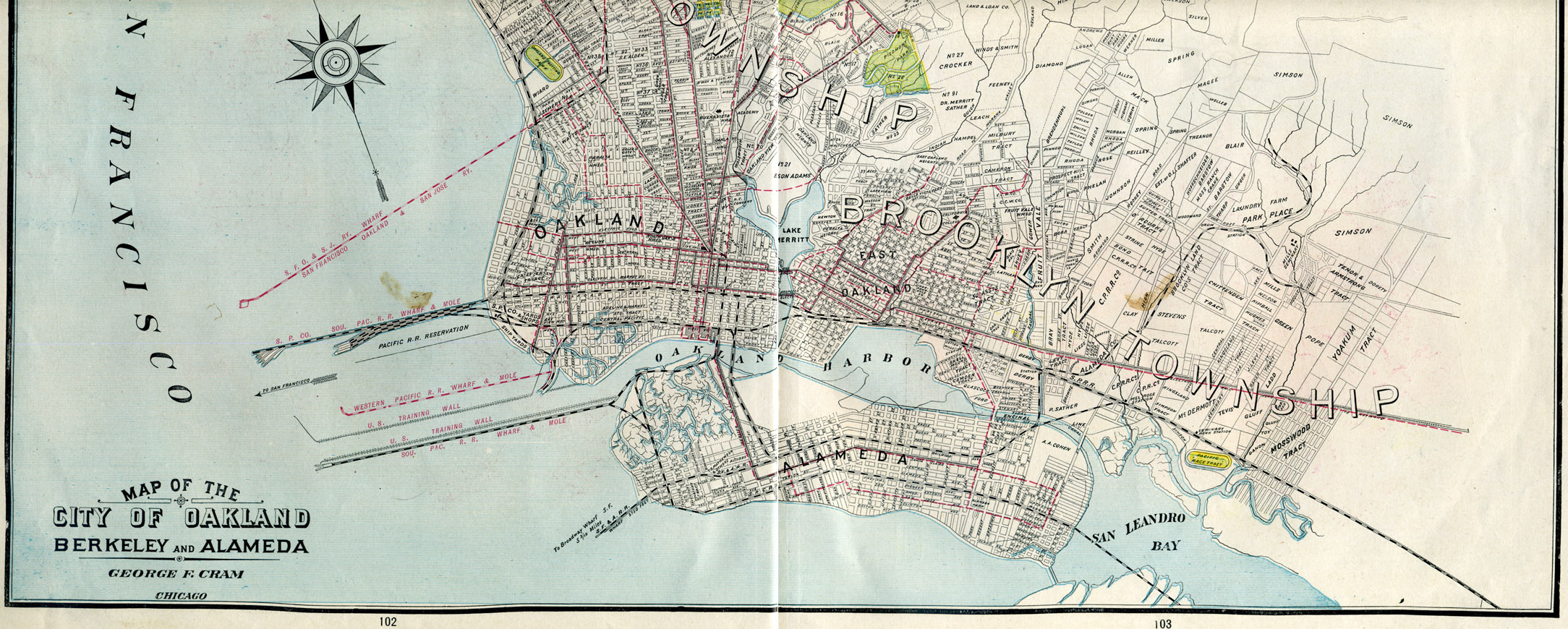
The image above is from a map made in 1908 by George Cram of the City of Oakland, Berkeley, and Alameda.
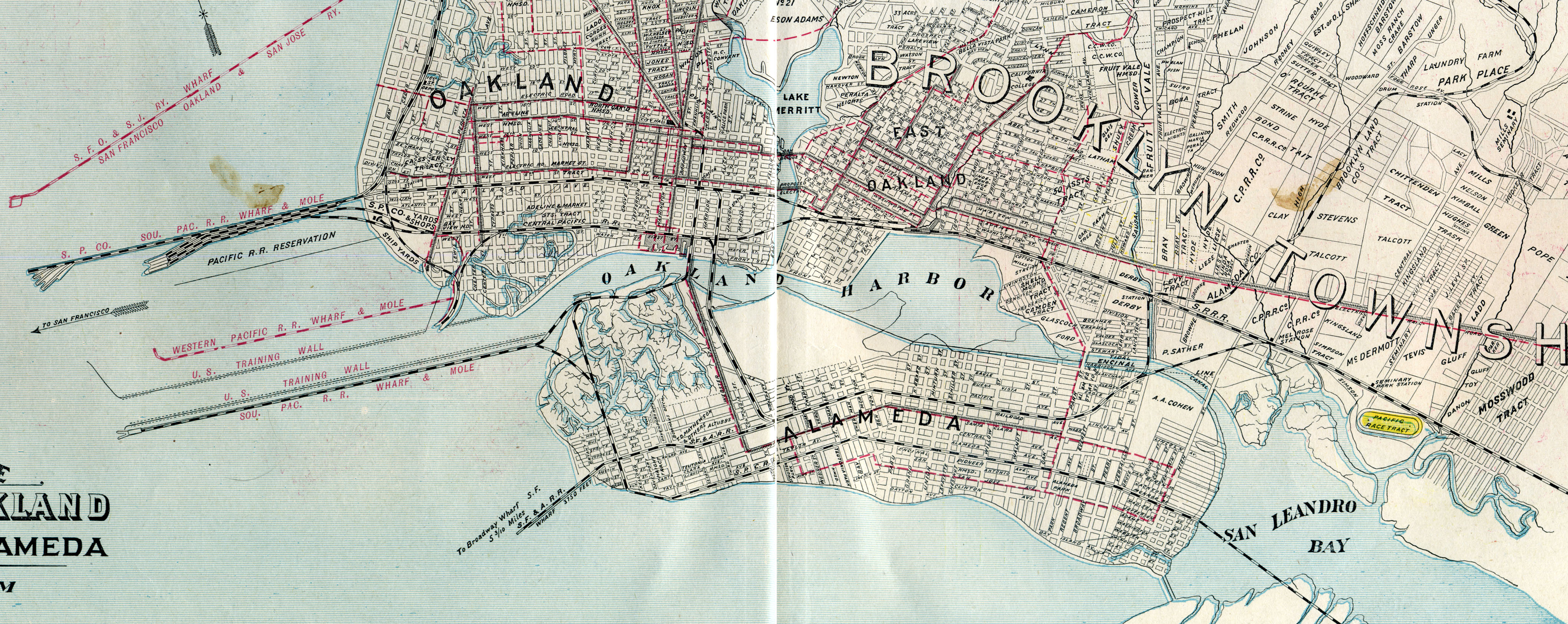
The picture above is from the same map, but covers more area and is a larger file size Good views of the Oakland and Alameda Wharfs and Moles for the Rail Road. Also, notice the race tract above San Leandro Bay.
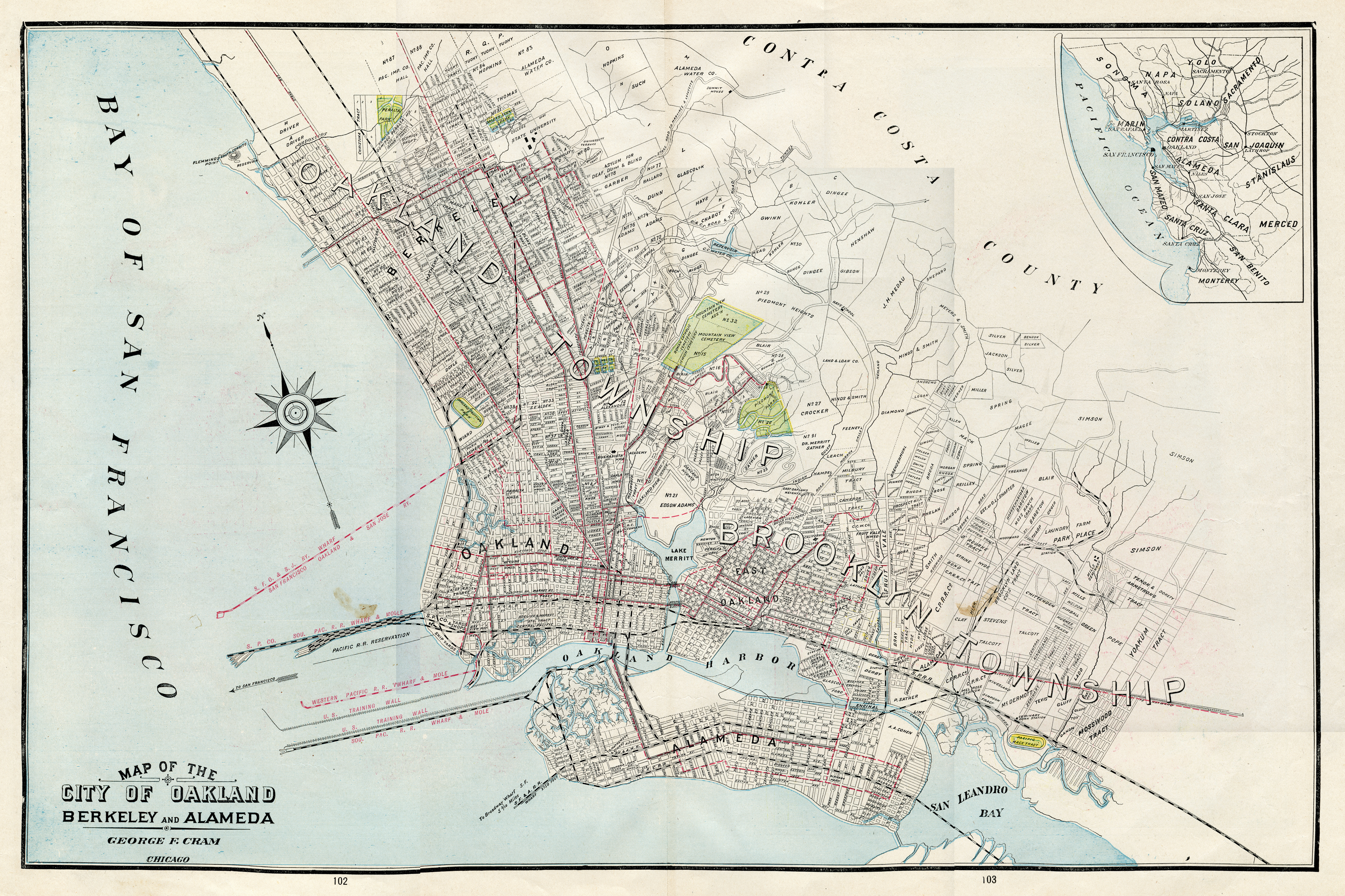
The picture above is from the same map, but shows a larger area. Good view of the location of Piedmont Park in Oakland.
The full map (file size 10,905 KB)
| Author: | George Cram |
| Date: | 1908 |
| Short Title: | Map of the City of Oakland, Berkeley and Alameda |
This map is from the Gary Lenhart Historical collection and is provided here for educational use only. | |