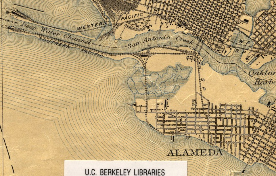
The image at the left is a close up view of the West end of Alameda, from a map made in 1915.
To the right is a close up view from the same map. Note how the very large marshy area between Oakland and Alameda has shrank considerably since the 1895 map. click here for 1895 map.
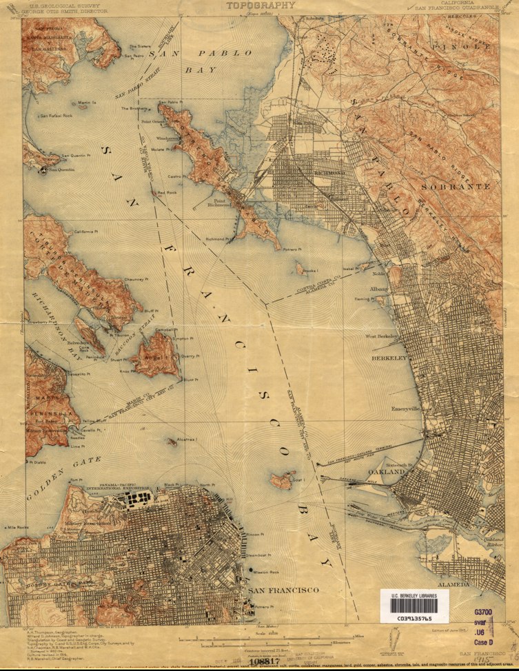
The image left is the full map that the close-ups above came from.
The above images are used with permission from a map collection at UC Berkeley. They are provided here and are intended for educational use only.
Cookie Consent
We use cookies to improve your experience on our site. By using our site, you consent to cookies.
Cookie Preferences
Manage your cookie preferences below:
Essential cookies enable basic functions and are necessary for the proper function of the website.
Name
Description
Duration
Geolocation Config
This cookie is used to store the consent settings based on the visitor's location.
30 days
Cookie Preferences
This cookie is used to store the user's cookie consent preferences.
30 days
These cookies are needed for adding comments on this website.